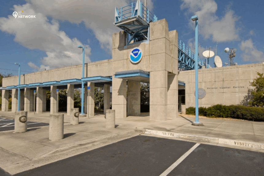
The National Hurricane Center (NHC) is the primary authority in the United States for tracking, forecasting, and providing updates on tropical storms and hurricanes. Whether you are a traveler, small business owner, emergency planner, or weather enthusiast, understanding how to follow hurricanes safely is crucial. In this guide, we will cover everything you need to know about hurricane tracking, NOAA hurricane tools, notable storms like Hurricane Humberto (2025), and safety tips.
What is the National Hurricane Center (NHC)?
The National Hurricane Center (NHC) is part of the National Oceanic and Atmospheric Administration (NOAA). Its mission is to provide timely warnings, accurate forecasts, and essential information about tropical storms, hurricanes, and tropical cyclones. Established in 1965, the NHC has played a vital role in helping communities prepare for severe weather, ultimately saving lives and reducing property damage.
Key roles of NHC include:
- Monitoring and tracking hurricanes in the Atlantic, Pacific, and Caribbean regions
- Issuing forecasts, watches, and warnings to the public
- Supporting emergency planners with real-time data and guidance
- Educating the public about hurricane preparedness
The NHC is widely regarded as the most reliable source for hurricane tracking and tropical storm updates, often using advanced technology and modeling to predict storm paths.
Understanding Hurricanes
How Hurricanes Form
Hurricanes are powerful tropical storms that form over warm ocean waters. They develop through a series of stages:
- Tropical Disturbance: A cluster of thunderstorms over tropical oceans
- Tropical Depression: A system with defined circulation and wind speeds up to 38 mph
- Tropical Storm: Winds range from 39–73 mph; named by NHC
- Hurricane: Winds exceed 74 mph; categorized from 1 to 5 on the Saffir-Simpson scale
The warm water fuels the storm, causing it to strengthen as it moves across the ocean.
Anatomy of a Hurricane
Understanding the structure of a hurricane is essential for interpreting NHC forecasts:
| Feature | Description |
|---|---|
| Eye | Calm center with clear skies; lowest pressure |
| Eye Wall | Surrounds the eye; contains strongest winds and heaviest rain |
| Rainbands | Spiral bands of thunderstorms extending outward |
| Center | Also referred to as the “eye,” where meteorologists focus for tracking |
Knowing the center of a hurricane helps meteorologists predict landfall and potential damage areas.
Tracking Hurricanes Safely
NOAA Hurricane Tracker and Tools
The NOAA Hurricane Tracker provides real-time tracking of tropical storms and hurricanes. Users can access live maps, wind speed data, rainfall predictions, and storm paths. Key features include:
- Interactive maps with hurricane tracks
- Forecast cones showing potential landfall areas
- Alerts for watches and warnings
Using NOAA tools ensures you receive the most reliable, up-to-date information during hurricane season.
National Hurricane Center Spaghetti Models
Spaghetti models are forecast simulations showing multiple potential storm paths. Each line represents a model run from a different meteorological organization. While individual tracks may vary, the cluster of lines helps identify high-probability paths.
Tips for interpreting spaghetti models:
- Focus on the general cluster rather than a single line
- Pay attention to the forecast cone for potential impact zones
- Combine model data with official NHC updates
Social Media & NHC Updates
Following NHC on official social media channels is a quick way to get updates. Platforms like Twitter and Facebook provide:
- Emergency alerts
- Real-time storm advisories
- Educational posts on hurricane safety
Hurricane Season Tips
Hurricane season officially runs from June 1 to November 30, with peak activity typically in August and September. Tips to stay prepared:
- Keep an emergency kit ready
- Monitor local news and NHC updates
- Have evacuation routes planned
- Protect property with shutters and sandbags if necessary
Notable Hurricanes of 2025
Hurricane Humberto (2025)
Hurricane Humberto (2025) is one of the most tracked storms this season. Key information includes:
- Formation location and date
- Wind speeds and category on the Saffir-Simpson scale
- Predicted path and potential impact areas
- Safety precautions for residents and travelers
NHC and NOAA continue to provide real-time updates to minimize risks and inform emergency services.
Hurricane Erin and Other Storms
Meteorologists are closely monitoring Hurricane Erin and other tropical storms in 2025. Questions often arise: Is Hurricane Erin going to hit the US? While forecasts evolve, staying informed through NHC advisories is the best way to protect life and property.
Hurricane Safety and Preparedness
For Residents and Travelers
- Monitor official NHC alerts
- Evacuate early if advised
- Keep important documents in a waterproof container
- Avoid flood-prone areas
For Small Business Owners
- Secure inventory and property
- Develop a hurricane response plan
- Ensure employees are informed and safe
Emergency Resources
- NOAA Weather Radio
- NHC official website and social media
- Local emergency management offices
FAQ Section
Q1: Is Hurricane Erin going to hit the US?
A1: Forecasts change daily. Follow NHC advisories for real-time updates on potential landfall.
Q2: What’s the worst month for hurricanes?
A2: Historically, August and September see the highest frequency of intense storms.
Q3: Where is the center of a hurricane called?
A3: The center is called the “eye”, a calm area surrounded by the storm’s most intense winds.
Q4: How can I track hurricanes online?
A4: Use the NOAA Hurricane Tracker or NHC website for live maps, alerts, and forecast models.
Q5: What is the role of the NHC in emergency planning?
A5: NHC provides forecasts, warnings, and expert guidance to communities and emergency planners to minimize damage and save lives.
- Stay updated with world news .
Conclusion
The National Hurricane Center plays a critical role in keeping the public informed and safe during hurricane season. By tracking storms like Humberto (2025), understanding spaghetti models, and following NOAA tools, you can stay ahead of potential disasters. Whether you are a traveler, small business owner, or weather enthusiast, preparation and timely information are the keys to staying safe.


